Sale!
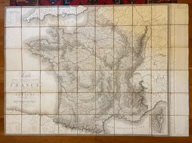
A Louis XVIII post restoration folding map of France, 1818
£265.00 £230.00
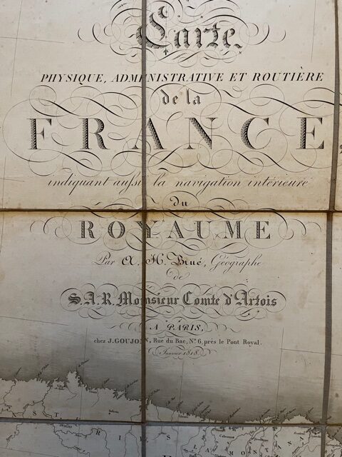
Brue, A. H.: Carte Physique, Administrative et Routiere De La France, Indiquant Aussi La Navigation Inteéoujon PARIS 1818.
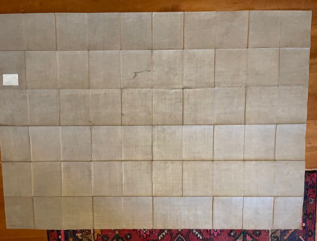
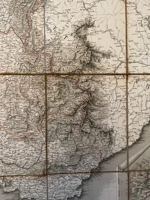
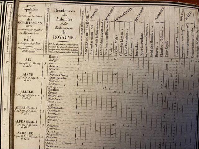
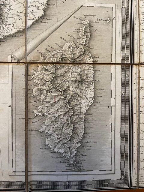
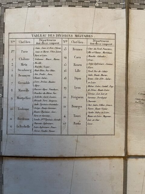
A good example of the first edition of this large folding map, dissected in 60 plates, linen backed, with some outline colouring, extending to a size 61 x 43 Ins Unfolded [155 x 110cm]. The map folds down to a size of 6 x 7 inches [15 x 18cm]. The map is clean and in very sound condition with just a couple of small tears to the linen folds [not affecting the printed paper of the map itself]. There is an inset map of Corsica lower right. Top left is a table showing the Military Divisions of a country which had been at waru til very recently. On the left side is a table of the Départments of France showing population, number of Deputés, areas, & distance from Paris. The map does not have a slip case but folds down very neatly. One of the first large maps to appear after the restoration of the Bourbon monarchy and a map which was reproduced a number of times in the following decades. feb27/8
1 in stock
