Sale!
A London printed map of Central Europe, published 1827 with additions to 1831
£90.00 £75.00
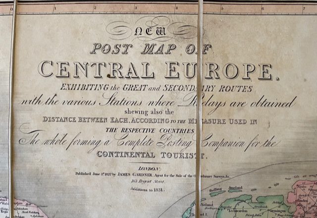
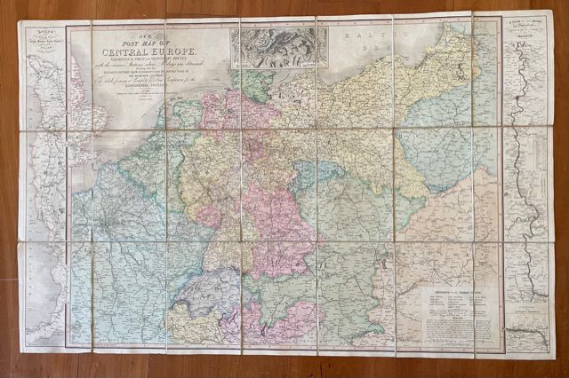
New Post Map of Central Europe, Exhibiting the Great and Secondary Routes with the Various Statons Where Relays are Obtained,,,distance Between Each…the Whole Forming a Complete Posting Companion for the Continental Tourist. James Gardner [London] published June 1st 1827 with additions to 1831
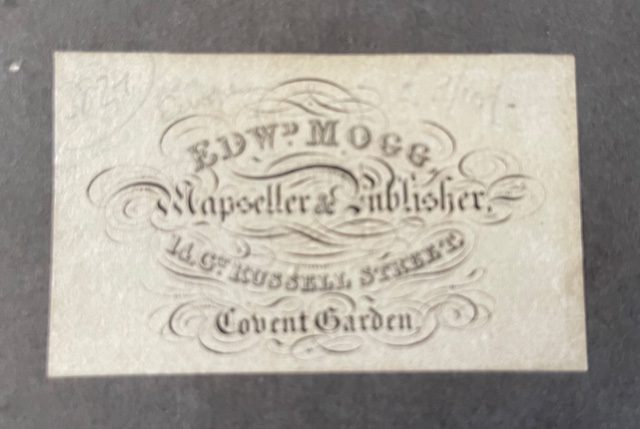
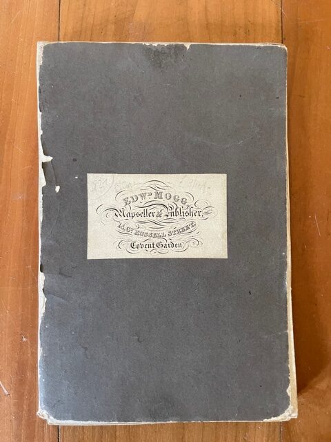
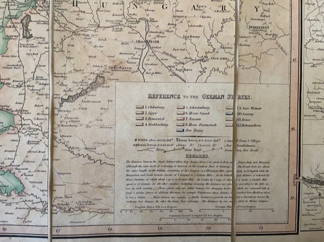
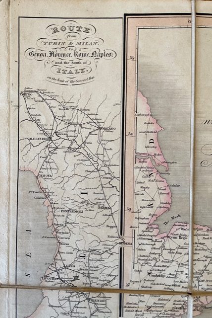
Folding map, dissected, linen backed, fully coloured, extending to a size of 25 x 40 ins [65 x 102.5mm] when unfolded. The map folds down in 21 plates to a size of 8.5 x 6 ins. The map is clean and sound. There is no slipcase but one of the grey endpapers has a contemporary bookseller’s label of Edward Mogg of Covent Garden, London. An interesting feature of this late Grand Tour map are the two routes shown at the left and right edges of the main map. The main map shows Europe from London and Rouen in the west to include Budapest and Warsaw in the east and from Danzig and Konigsberg in the north to Turin and Verona in the south. The left hand route traces the coastal roads from Turin and Milan via Rome and Salerno to Naples: the right hand side shows a plan of the Rhine from Dusseldorf via Cologne, Bonn and Andernach to Bingen with an extension showing Mainz and Wiesbaden. Although this is an English produced map many of the European cities are named in the local language. mar17/3
1 in stock

