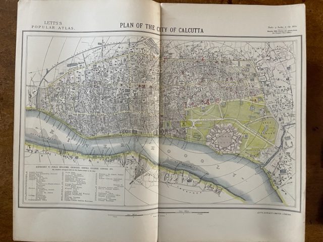
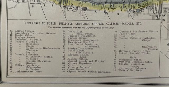
CALCUTTA. A city plan of 1881
£70.00
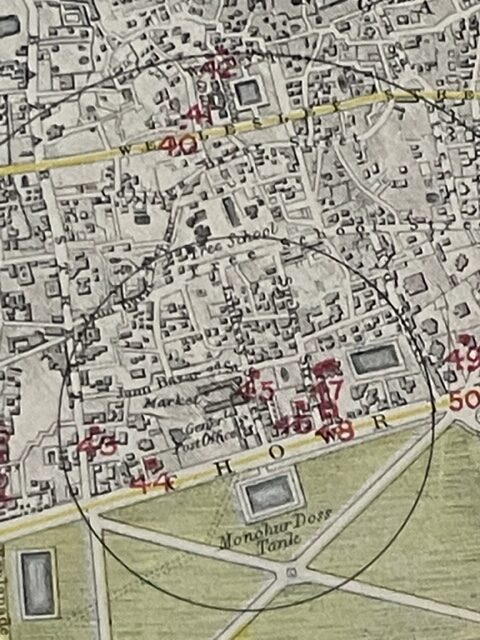
Plan of the City of Calcutta. being Map 57 from Lett’s Popular Atlas published [London] 1881. The actual size of the plan is 16 x 10 ins on a larger sheet with original central fold and is on a scale of 3 inches to the mile. It is in clean condition and shows a good amount of detail from Sealrah Station in the north to Howrah Station on the south bank of the River Hoogly. mar19/1
1 in stock
