Sale!
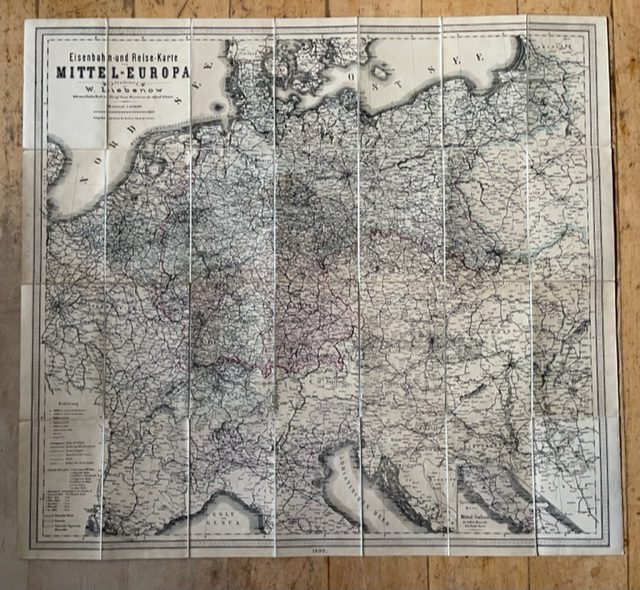
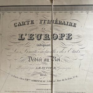
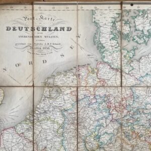
CENTRAL EUROPE. A German printed Railway and Route Map of 1890.
£70.00 £60.00
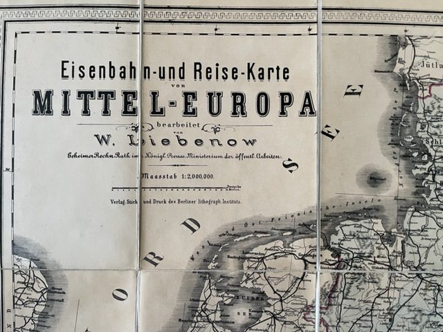
Eisenbahn und Reise Karte von Mittel Europa bearbeitet von W Libenow, Geheimer Rechen Rath Im Konigl. Preuss. Ministerium Der Offentl. Arbeiten. CENTRAL EUROPE 1890
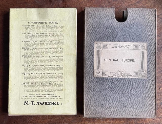
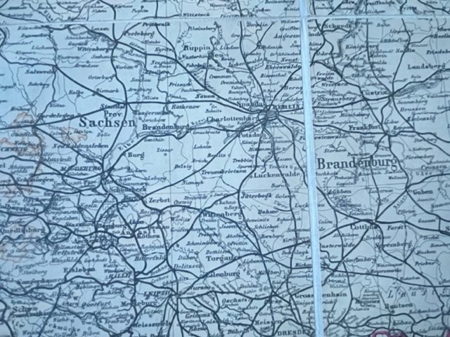
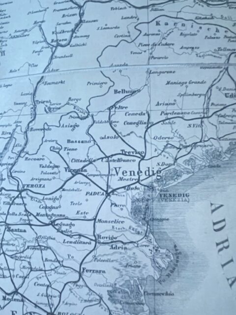
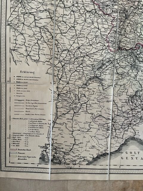
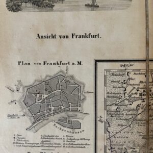
Folding map of Central Europe, dissected, linen backed, coloured in outline, unfolding to a size of 830 x 760mm [32.5 x 30ins]. The map folds down in 28 plates to a size of 190 x 120mm [7.5 x 4.5ins] and fits into ins original card slip case with Stanford of London’s printed label. The map is clean and sound and retains its original Stanford advertising endpapers, one with an ownership name M LAWRENCE. There is also the ownership name at the bottom of the case label. The case is very faded but with only very minor wear. The map extends from the North Sea south as far as Florence and Marseille: in the west it extends to Paris and in the east it includes the whole of East Prussia [Ost Preussen]. oct24/3
1 in stock

