Sale!
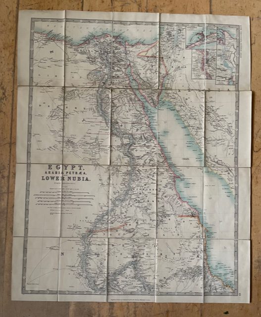
Egypt, Arabia Petraea. A late 19th century folding map.
£90.00 £75.00
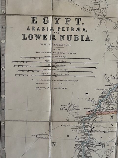
Johnston, Keith: Egypt, Arabia Petræa, and Lower Nubia. W. & A. K. Johnston [Edinburgh & London]
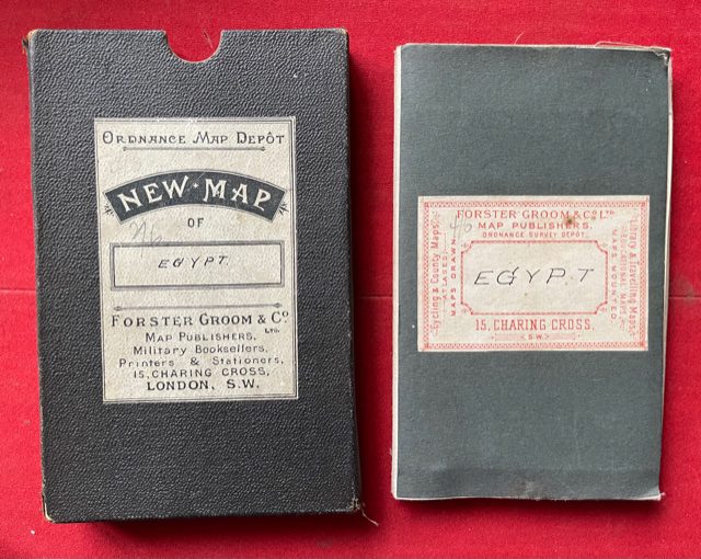
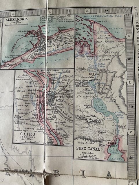
Undated but late 19th century. Folding map, dissected, linen-backed, coloured in outline, unfolded size 20ins x 26ins. The map, which is quite a clean copy, folds down to a size of 4ins x 6.5ins and retains original cloth endpapers with contemporary retailer’s printed and manuscript label of Forster Groom and Co of Charing Cross, London. A clean slip case with title label is also present. The map is on a scale of 1 inch to 45 miles and extends from the mouth of the Nile as far down the Red Sea coast as 100 miles south of Suakin. It shows considerable detail of the Hedjaz along the eastern bank of the Red Sea. There are small inset maps top right showing Cairo, Alexandria and the Suez Canal. mar1/1
1 in stock

