Sale!
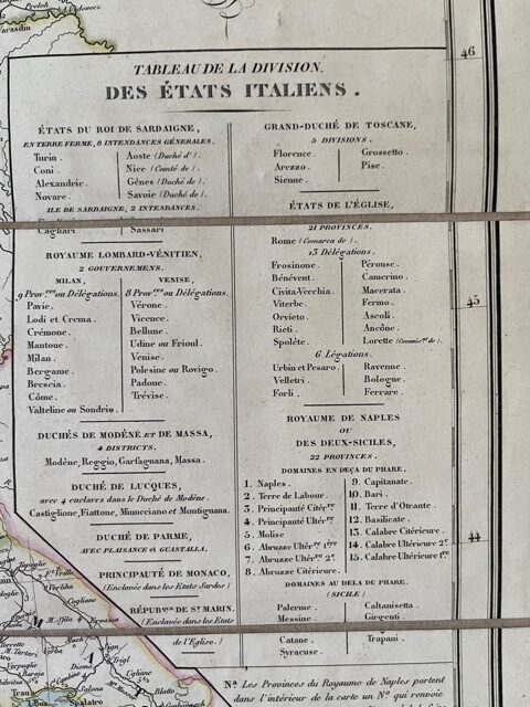
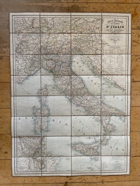
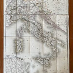
Italy. A good folding map of the whole of Italy and Switzerland, 1836. Printed in French and published in Paris.
£180.00 £150.00
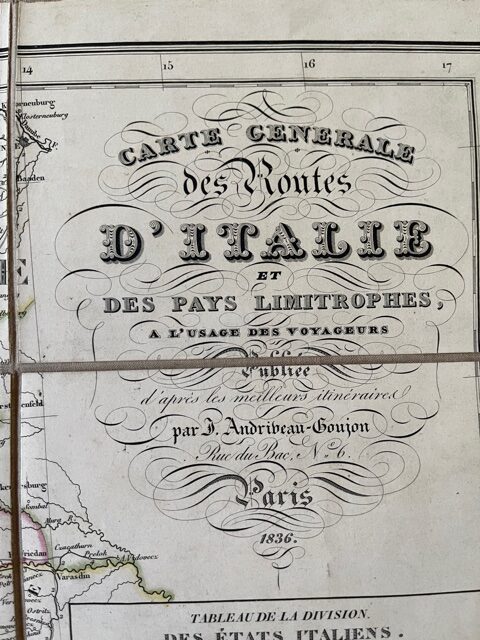
Carte Generale des Routes d’Italie et des Pays Limitrophes, a l’usage des Voyageurs. J. Andriveau-Goujon [Paris] 1836.
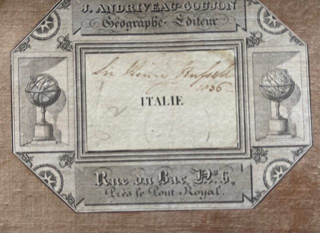
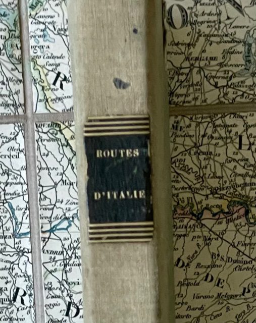
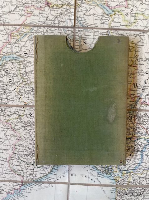
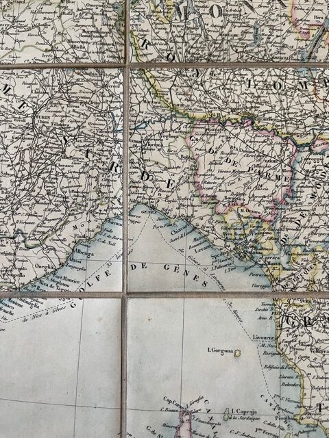
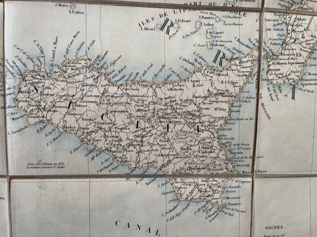
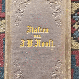
A folding map, dissected, linen backed, coloured in outline and measuring 34 x 35ins when unfolded. The map folds down to a size of approx 6 x 4ins and fits into its original green cloth covered card slip case, a little worn at the extremities but retaining its black leather gilt title label on the spine. An attractive late Grand Tour map – the title label on the first plate verso bears the contemporary signature and date Sir Henry Russell, 1836 [probably the second baronet of Swallowfield]. The map extends from Vienna, Munich, and Toulon to Sardinia.In the north includes all of Switzerland. It includes the islands of Sicily, Sardinia and Corsica and an inset map lower left shows the routes from Paris to Italy. A printed list of Andriveau’s other maps is pasted to the verso of some of the plates. feb26/5
1 in stock

