Sale!
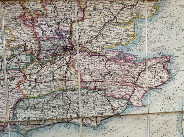
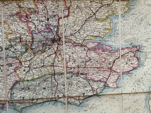
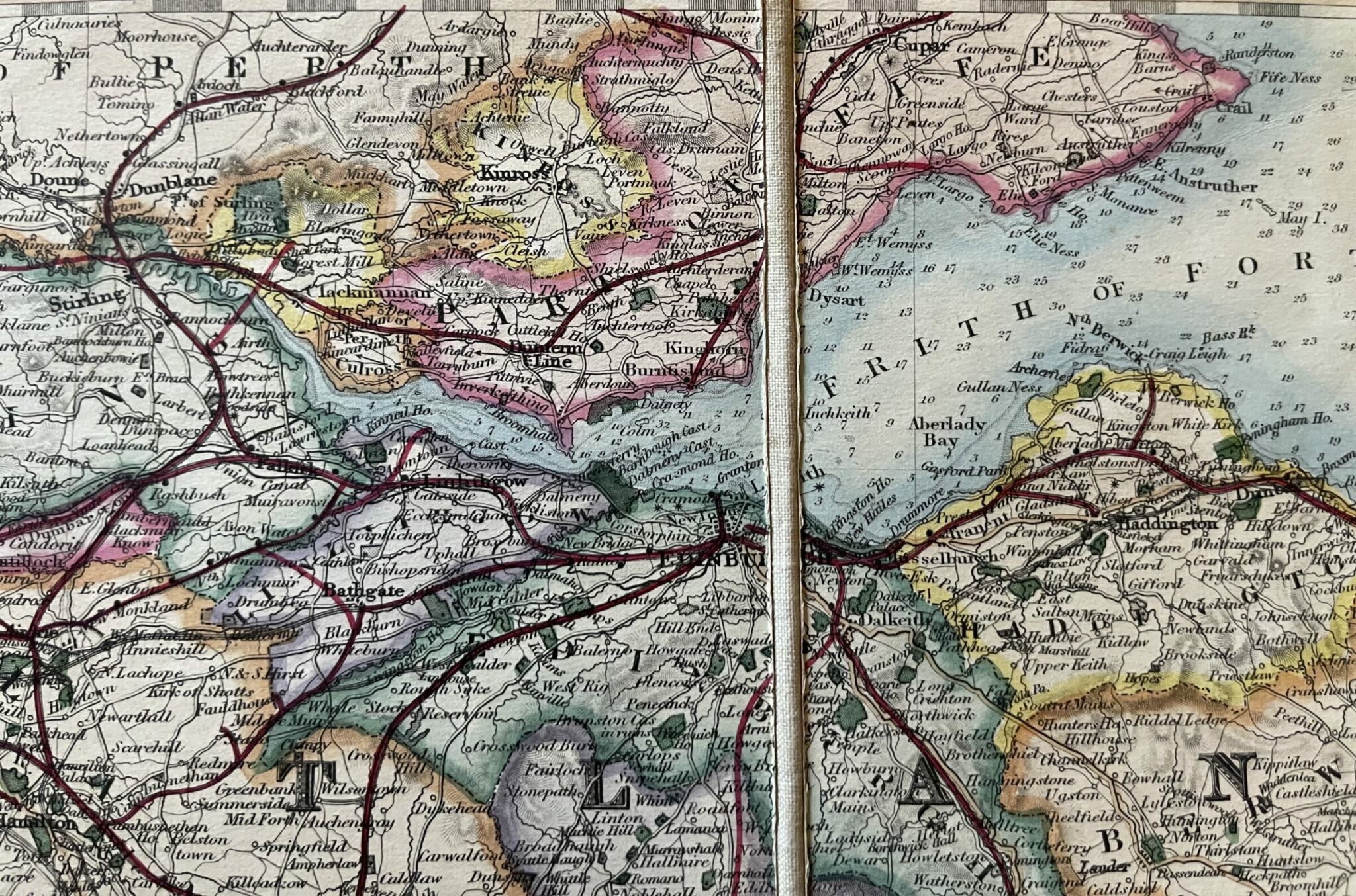
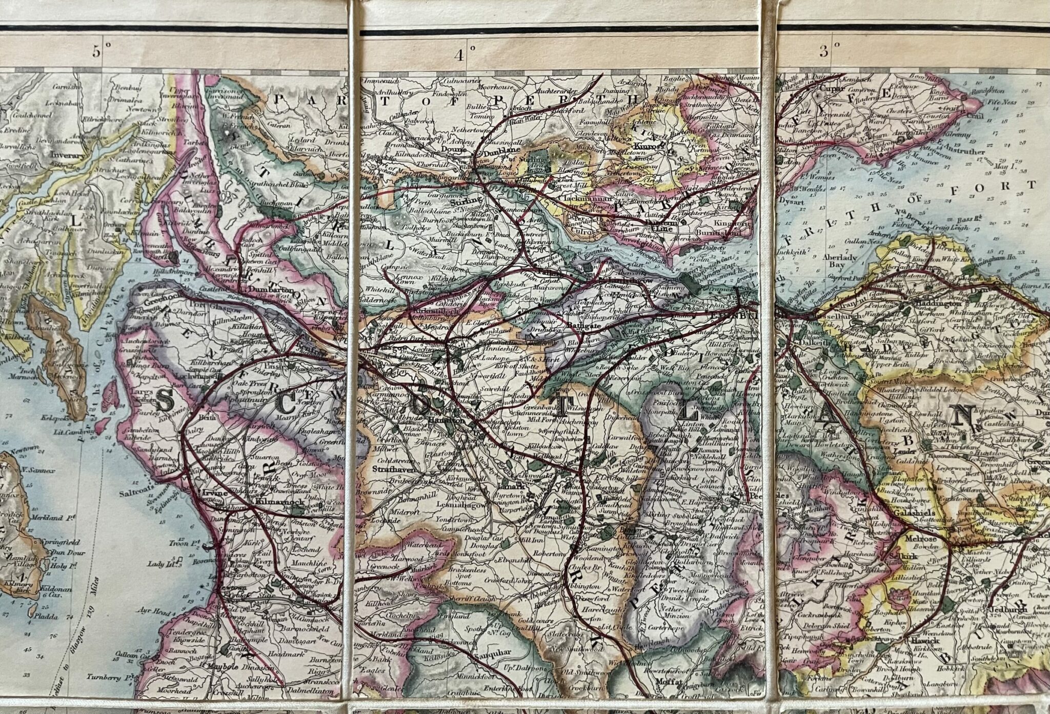
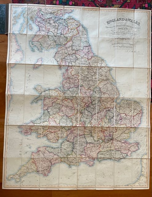
Large folding map of England and Wales with Scotland as far north as Cupar in Fife.
£125.00 £90.00
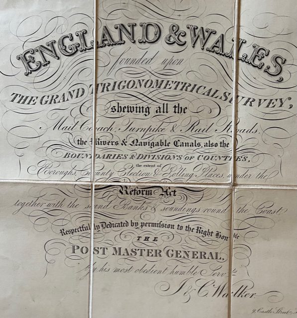
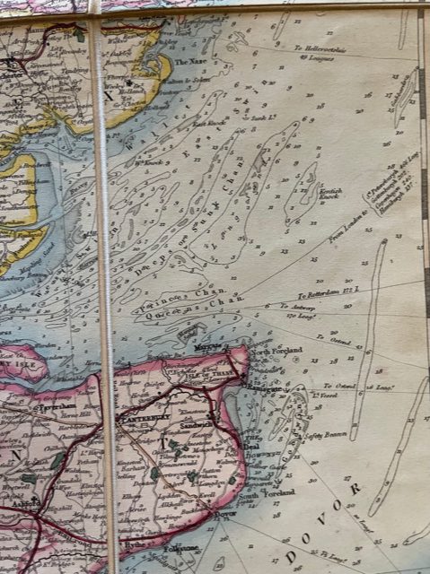
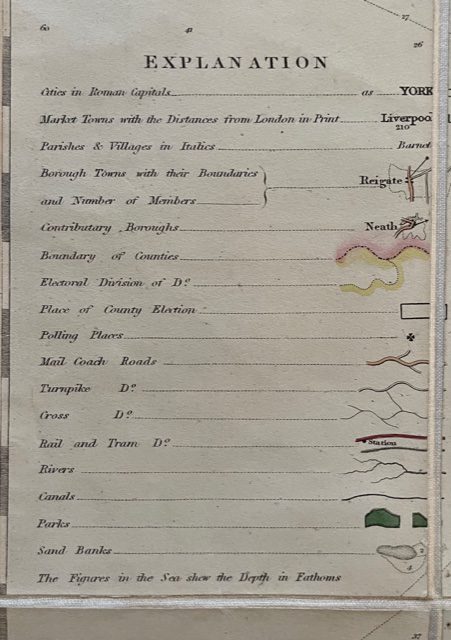
England and Wales, founded upon the Grand Trigonometrical Survey; shewing all the Mail Coach, Turnpike & Rail Roads, the Rivers and Navigable Canals, also the Boundaries & Divisions of Counties, Boroughs, County Election & Polling Places under the Reform Act together with the Sand Banks & soundings round the Coast. Respectfully Dedicated by permission to the Right Honble. the Post Master General. J & C Walker [London] 1856.
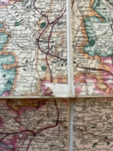
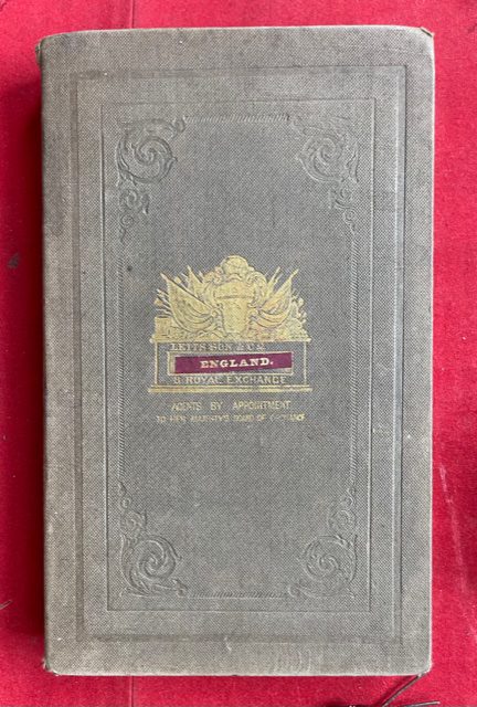
A large folding map on a scale of approximately 10 miles to 1 inch, dissected, linen-mounted, fully coloured in outline and block, 41 x 52 ins unfolded. folding down into hard backed linen covered boards with title blocked to front board , 9 x 5.5ins. The map shows the railways in red prominently. It is in excellent clean condition throughout apart from a small area of lost surface [approx 10 x 20 mm of rural south Worcestershire about 10 miles north of Cheltenham. Despite the title the map also shows the Borders and Lowland Scotland including Edinburgh & Glasgow and extending as far north as Cupar in Fife. mar25/1
1 in stock
