

")
")
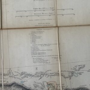
Mount Everest. Official Government facsimile of the first 1930 map of Everest.
£15.00
The First Published Map of Mount Everest. Surveyor General of India, Government of India 1990
An official facsimile of the map on a scale of 2 miles to one inch originally published by the Survey of India in 1930. Printed on stout map paper 23 x 23½ ins [58 x 58.5cm] the map is clean and sound and folds down to 12 x 6 ins . jul20/1
1 in stock
Related products
-
NAINI TAL & GARHWAL 1 inch map of 1894 in use by a hunter in the 1940s
£55.00 Add to basket -

Large scale 1 inch map of parts of Surat, Broach, & Baroda, 1879 revised to 1901
POA Read more -
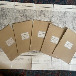
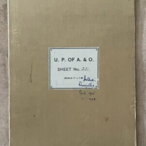
United Provinces of Agra & Oudh. Six large scale folding maps of Almora District. c.1870s/80s
£160.00 Add to basket -
NORTH INDIA. A folding map of the 1880s
£40.00 Add to basket