

")
")
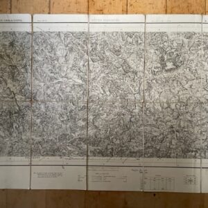
NORTH WEST FRONTIER PROVINCE. A folded coloured map of 1903
POA
The North-West Frontier Province. Survey of India [Calcutta] 1903, corrected to 1910. A coloured map on stout paper, on a scale of 10 miles to 1 inch, extending to 33 x 24 ins and folding down to 12 x 6 ins. There is some discolouration along the central vertical fold with a few small holes to the lower section but this remains a very useful map of of the key area along the often troubled border with Baluchistan and Afghanistan. jul21/2 SOLD 10th august 2024
Sold
Related products
-
GARHWAL & ALMORA 1 inch map of 1873 in use by a hunter in 1946
£55.00 Add to basket -
Large scale 1 inch map of parts of Surat, Broach, & Baroda, 1879 revised to 1901
POA Read more -
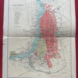
CALCUTTA. A coloured plan of the city as it was in 1909.
£20.00 Add to basket -
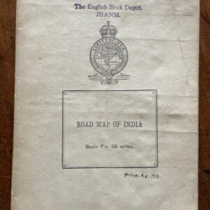
INDIA. Road map on a scale of 1 inch to 50 miles, printed around the time of independence
POA Read more