


")
")


")
")

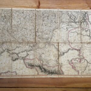
Railway Map of Middle Europe, 1873, with German text.
£40.00
Müller, H.: Karte der Eisenbahnen Mittel-Europa’s mit Angabe sämmtlicher Bahnstaionen, Hauptpost- und Dampffshifffahrts- Verbindungen. Verlag von Carl Plemming [Glogau] 1873.
An attractive and colourful specialist European railway map, extending to 39 x 32 ins [99 x 81 cm] folding down to 5 x 6½ ins, dissected and linen-mounted, retaining only the rear cloth covered board but with the printer’s title label to the upper side. The lower edge is creased with some chips along the margin beyond the printed surface. The map extends from Newcastle and Copenhagen in the north to Marseilles in the south, and from the Isle of Wight in the west to a little beyond Warsaw in the east. jul23/2
1 in stock
Related products
-
Sale!
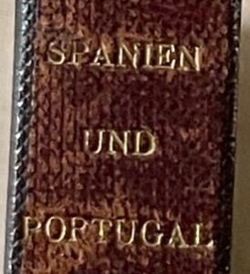
SPAIN & PORTUGAL. A German map of 1885
£65.00£45.00 Add to cart -
Russian map of 1806, the lower half only of a good map from the Napoleonic period
£45.00 Add to cart -
Sale!
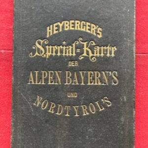
A special German map of the Bavarian Alps and North Tyrol, late 19th century.
£65.00£45.00 Add to cart -
Sale!
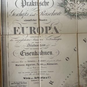
European Railway map, Vienna 1861
£165.00£150.00 Add to cart