1794 state of Scotland with some details of the East India Establishment
£60.00
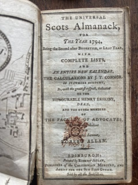
Allan, Robert: The Universal Scots Almanack, for the Year 1794…with complete lists…. Printed by Robert Allan, Publisher of the Caledonian Mercury… 1794 12mo [5 x 2¾ ins].
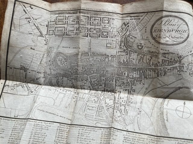
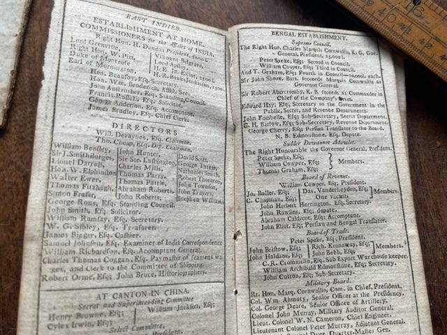
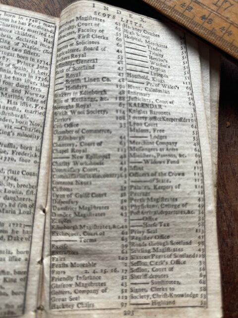
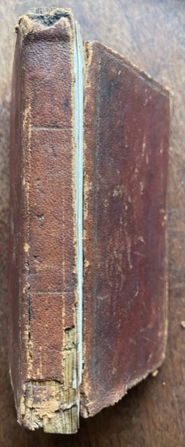
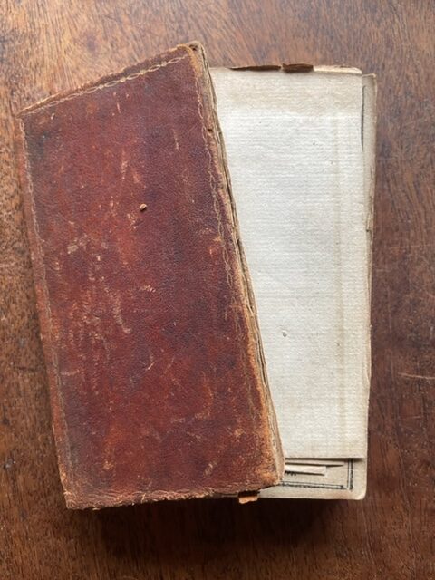
Engraved plan of the city of Edinburgh engraved by McTaylor and still in place as the frontispiece. The map is in good condition with just the required folds and little curling without loss to the lower right side of the margins. The map dates from the period of the expansion of the New Town with both Charlotte and St Andrew’s Squares finished along with Princes, George and Queens Streets. The northern work ceases on the north side of Queens Street with Moray Place and the rest of the New Town still to be developed. The legend at the bottom of the plan details the Closes and Wynds indicated on the plan by numbers. This edition of the Universal Scots Almanack has 204pp. It is bound in contemporary brown leather gilt but the front board is detached (but present) and the spine is damaged with some loss of leather at head and foot. In our experience these early maps of the city are usually removed from the books and we have not come across one for a considerable time. Among tthe details and lists in this edition are five pages on the East India Establishment including a list of the ships due to arrive in India that year. A fascinating snapshot of the Scottish capital at the start of the year in which Louis XVI was to die at the hands of the French revolutionaries. dec19/3
1 in stock
